
Preliminary Consultation
The study area
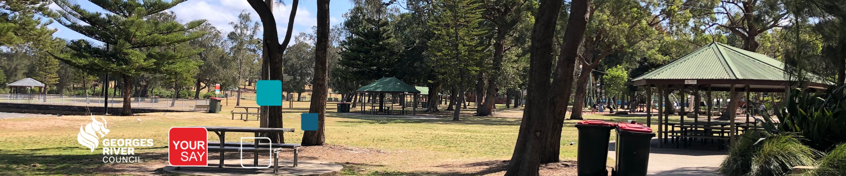
The study area is approximately 31.2 hectares, bordered by Kogarah Bay and Georges River to the south, the Princes Highway and residential development (Blakehurst) to the west, residential development (Carss Park) to the north and Parkside Drive Reserve to the east. The area broadly covers Carss Bush Park, Todd Park and Carss Park Community Garden (former Carss Park Bowling Club site) (see the Study Area Map below including key open space and community features).
The study area contains the following key features:
- Carss Bush Park
- Former Carss Park Pool
- Carss Park Flats
- Carss Park Community Garden
- Todd Park

Carss Bush Park and Todd Park Map
What is a Plan of Management?
A Plan of Management is a report outlining how Council proposes to manage open space for the benefit of the community. The plan must identify:
- an appropriate community land category for the land;
- objectives and outcomes for management of the land;
- how Council proposes to achieve objectives and outcomes; and
- the way by which Council proposes to assess its performance.
Preliminary Consultation
Preliminary consultation has now concluded. Further consultation will be invited when the draft Master Plan and Plan of Management are placed on exhibition at a later stage. You can read the outcomes of our engagement in this report.

Thank you for your contribution!
Help us reach out to more people in the community
Share this with family and friends