Share Salt Pan Creek Corridor Consultation on FacebookShare Salt Pan Creek Corridor Consultation on TwitterShare Salt Pan Creek Corridor Consultation on LinkedinEmail Salt Pan Creek Corridor Consultation link
Consultation has concluded
This consultation has closed. A second round of consultation will occur in early 2021.
Georges River Council has partnered with the City of Canterbury Bankstown to develop an overarching plan for the Salt Pan Creek Corridor.
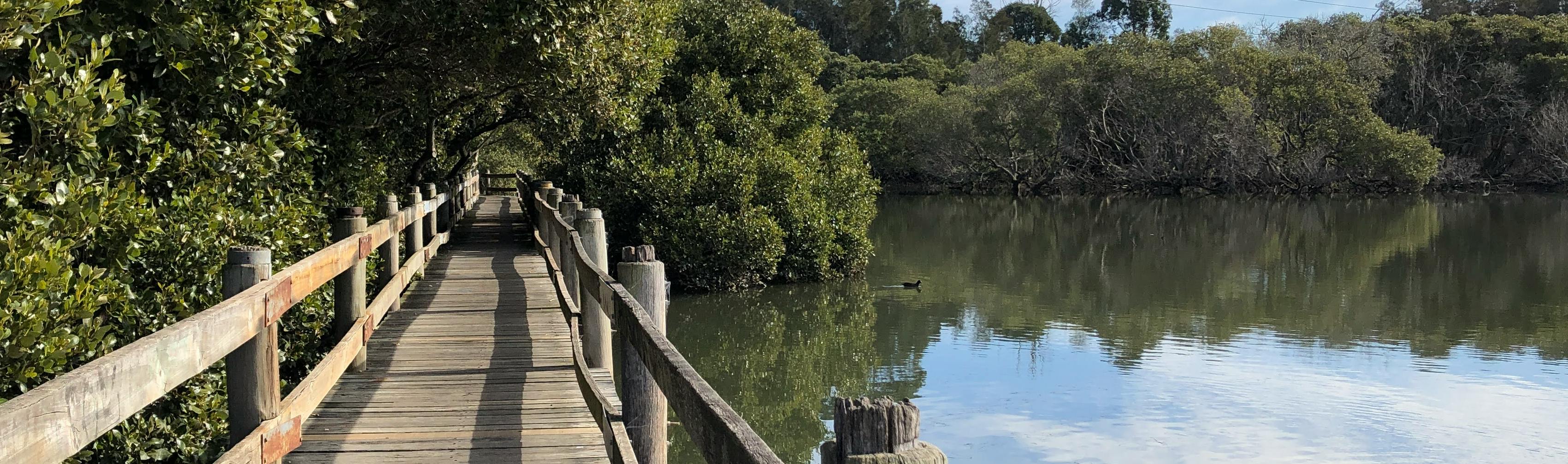
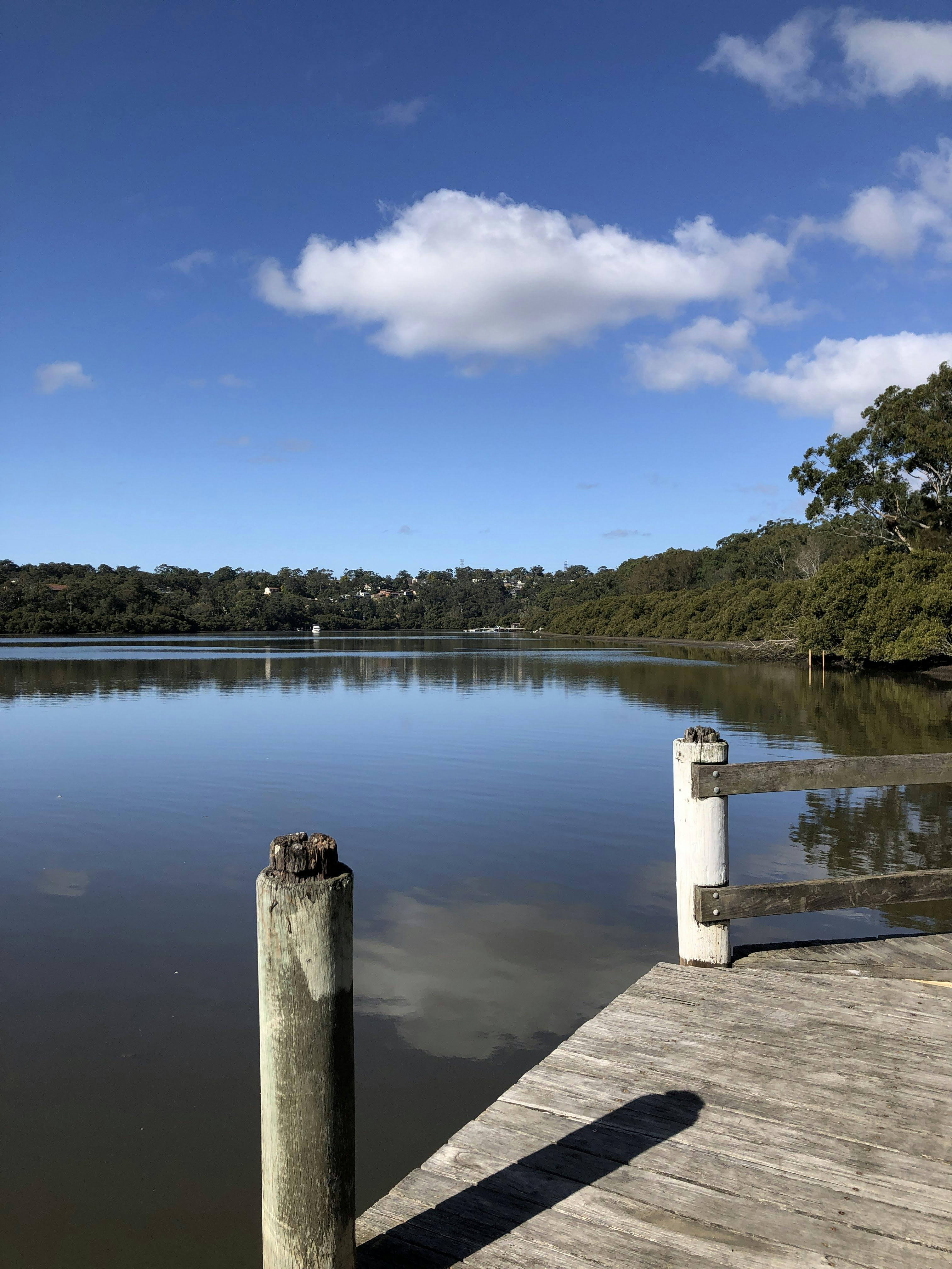
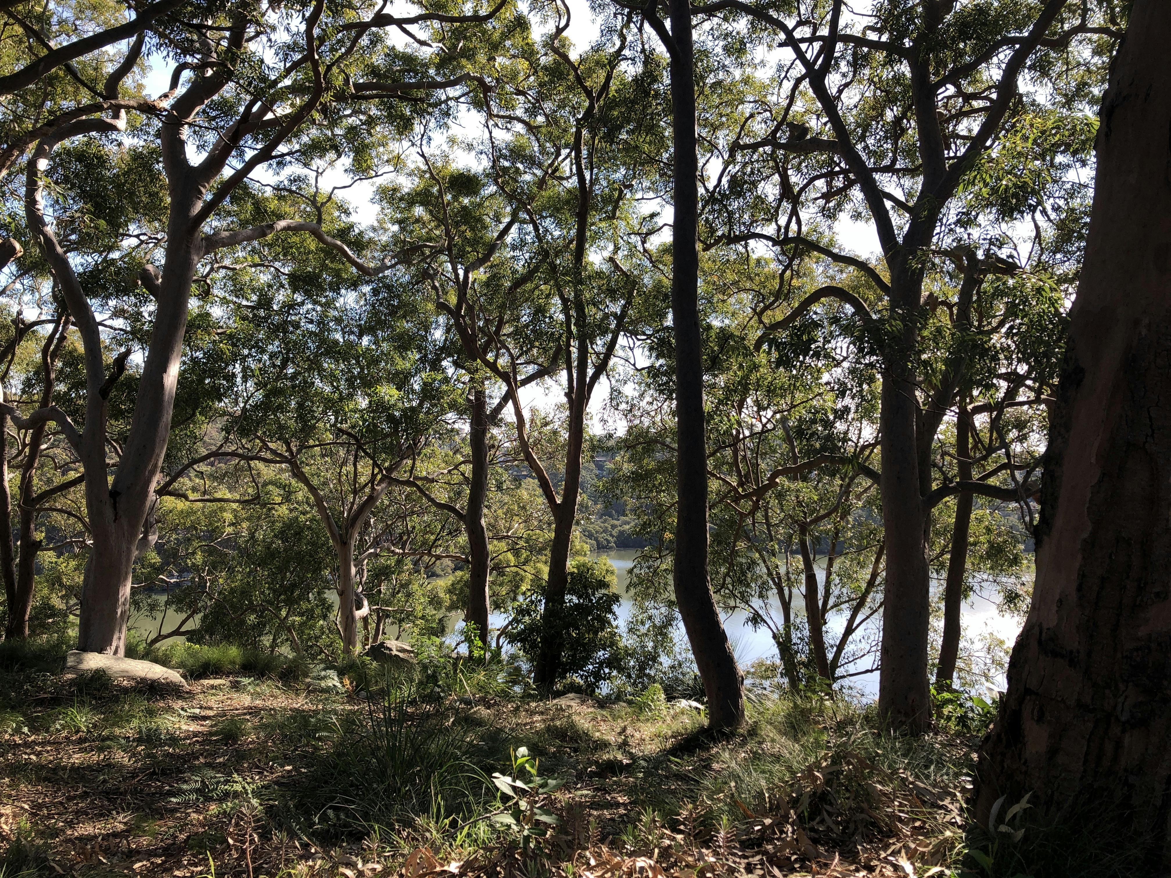
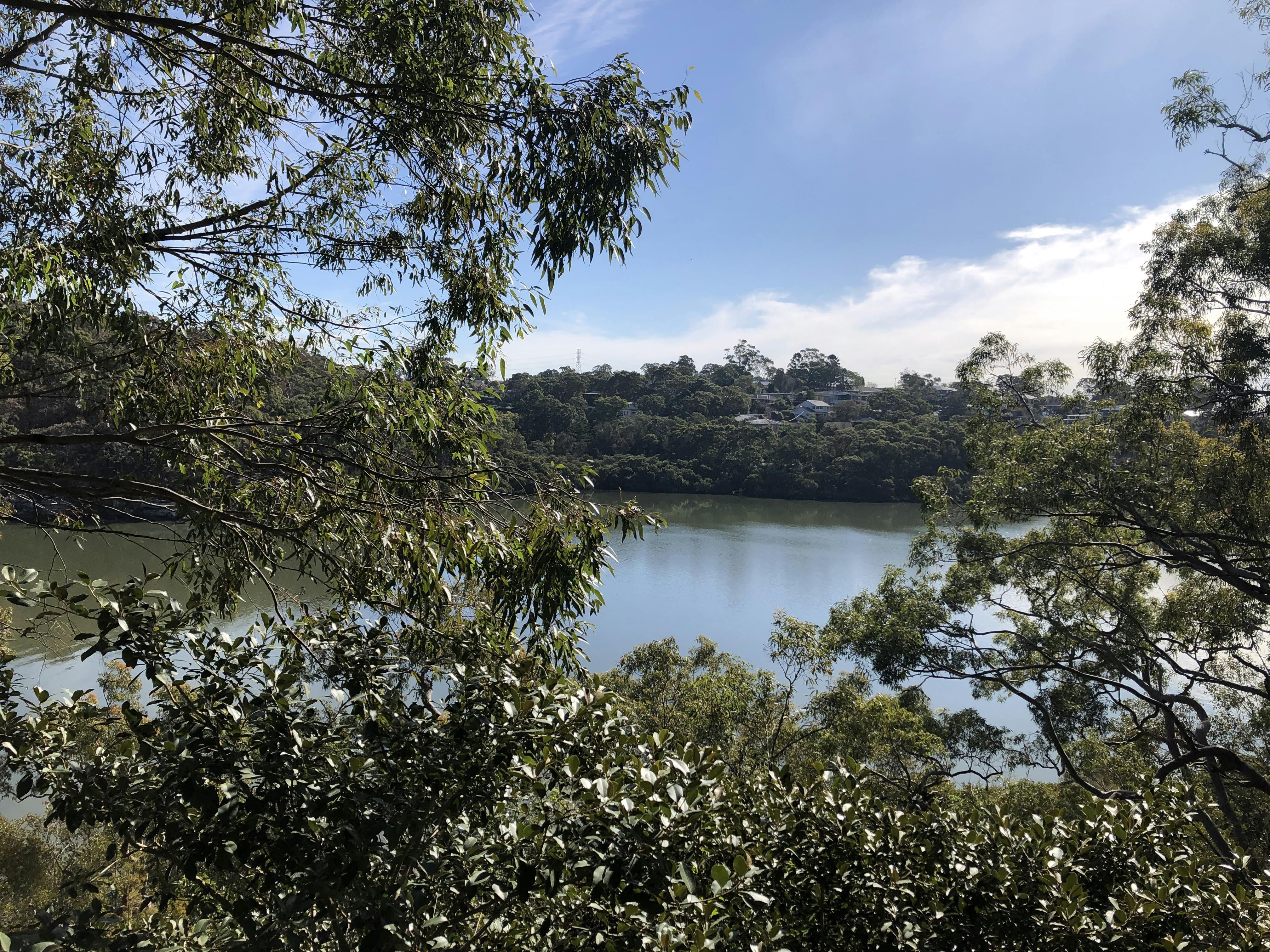
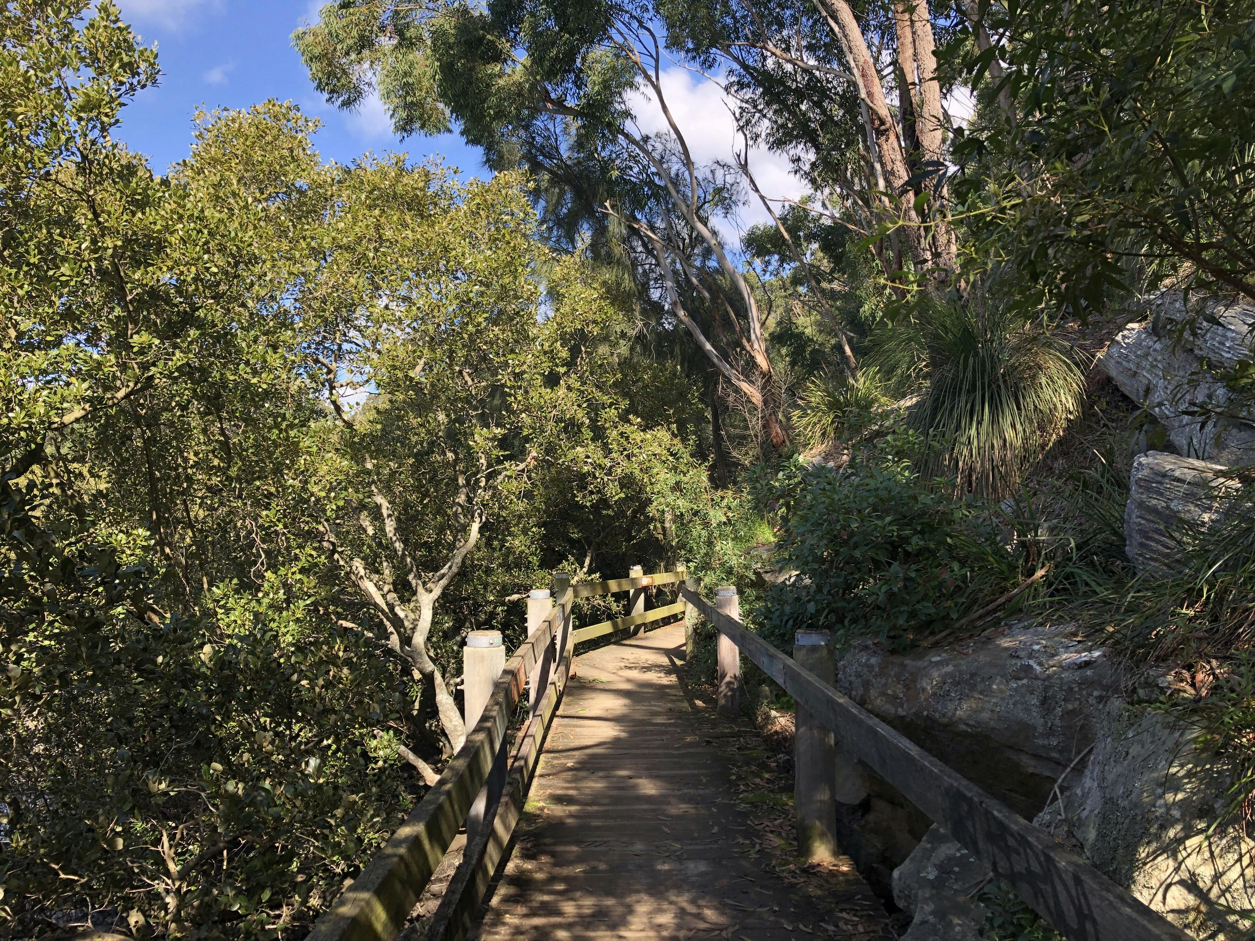
The Salt Pan Creek Open Space Corridor links Bankstown to the Georges River and is surrounded by the suburbs of Lugarno, Peakhurst, Riverwood, Punchbowl, Bankstown, Padstow and Padstow Heights. It is an important open space corridor for the region, with important ecological communities, mangroves, wetlands, recreational facilities and walking and cycling trails on both sides of the creek. The project aims to strengthen the connection between Bankstown CBD and Salt Pan Creek, improve trails and recreational opportunities surrounding adjacent development uplift, improved bridge crossings and connections to urban centres including Bankstown, Punchbowl, Riverwood, Padstow, Peakhurst and Lugarno.
Project Description
The purpose of this project is to develop a Spatial Framework/Masterplan for the Salt Pan Creek Green Grid corridor, creating opportunities to provide an open space link for ecological and social benefit. This Framework will support strategic decision making, enabling a long term vision and implementation strategy to deliver the Salt Pan Creek green grid corridor.
The objectives of the Spatial Framework are to:
Set out a vision for the corridor as part of the wider Green Grid network.
Establish a statement of aims and objectives for the Corridor through consideration of wider public space context that will help to define the function and purpose for the corridor.
Consider the regional context of the Green Grid and determine how this corridor fits into the wider context with consideration of current strategic planning, current and future connections.
Identify, describe and provide preliminary estimates of probable costs for catalyst projects that are either key to unlock green grid potential or required to resolve key open space deficits.
Provide recommendation on corridor governance, opportunities for collaboration, funding, maintenance and implementation staging.
The Metropolitan Greenspace Program 2018/19 Guidelines provide the key stages of Spatial Framework development, and identify the milestones that need to be met as part of this project.
Salt Pan Creek Corridor Survey
Let us know your thoughts on the Salt Pan Creek Corridor by filling in our joint survey with the City of Canterbury Bankstown here.
This consultation has closed. A second round of consultation will occur in early 2021.
Georges River Council has partnered with the City of Canterbury Bankstown to develop an overarching plan for the Salt Pan Creek Corridor.
The Salt Pan Creek Open Space Corridor links Bankstown to the Georges River and is surrounded by the suburbs of Lugarno, Peakhurst, Riverwood, Punchbowl, Bankstown, Padstow and Padstow Heights. It is an important open space corridor for the region, with important ecological communities, mangroves, wetlands, recreational facilities and walking and cycling trails on both sides of the creek. The project aims to strengthen the connection between Bankstown CBD and Salt Pan Creek, improve trails and recreational opportunities surrounding adjacent development uplift, improved bridge crossings and connections to urban centres including Bankstown, Punchbowl, Riverwood, Padstow, Peakhurst and Lugarno.
Project Description
The purpose of this project is to develop a Spatial Framework/Masterplan for the Salt Pan Creek Green Grid corridor, creating opportunities to provide an open space link for ecological and social benefit. This Framework will support strategic decision making, enabling a long term vision and implementation strategy to deliver the Salt Pan Creek green grid corridor.
The objectives of the Spatial Framework are to:
Set out a vision for the corridor as part of the wider Green Grid network.
Establish a statement of aims and objectives for the Corridor through consideration of wider public space context that will help to define the function and purpose for the corridor.
Consider the regional context of the Green Grid and determine how this corridor fits into the wider context with consideration of current strategic planning, current and future connections.
Identify, describe and provide preliminary estimates of probable costs for catalyst projects that are either key to unlock green grid potential or required to resolve key open space deficits.
Provide recommendation on corridor governance, opportunities for collaboration, funding, maintenance and implementation staging.
The Metropolitan Greenspace Program 2018/19 Guidelines provide the key stages of Spatial Framework development, and identify the milestones that need to be met as part of this project.
Salt Pan Creek Corridor Survey
Let us know your thoughts on the Salt Pan Creek Corridor by filling in our joint survey with the City of Canterbury Bankstown here.